Solution needs:
- River dredging
- Sludge / sediment material management
- Water retention
- Check dams
- River widening
- Early warning system (EWS)
- Terrace cultivation / terracing
- Sustainable farming practices, agroforestry
- Reforestation actions
- Ecosystem services
- Community education (on soil and water conservation)
- Infrastructure financing
The Government of the Netherlands (GON), through the Ministry of Infrastructure and Water Management and the Government of Indonesia (GOI) through its Ministry of Public Works and Housing (PUPR), have long-lasting cooperation on water which is secured in a Memorandum of Understanding on Water (MoU-Water) for 2015-2020.
During the visit to Surabaya in March 2020, both governments agreed to extend the current MoU. The Welang River Masterplan project is part of this new phase of cooperation and matches the priorities of MoU Water. All activities under this project are designed by both parties and aligned with the long-term objectives and perspectives of the bilateral cooperation program. This project supports the Indonesian national priority program, which is enlisted in Presidential decrees No. 56/2018 and No. 80/2019.
The beneficiary of this Masterplan is the Water Resource Department of East Java Province (Dinas Sumber Daya Air Provinsi Jawa Timur, or DPU-EJP).
Under the proposed MoU, two interlink projects are executed in the Welang River. The first one is Indonesia Healthy Rivers Challenge 2020 (November 2020 – March 2021), a capacity-building program organised by The Water Agency on behalf of the East Java Province (DPU-EJP) and the Government of The Netherlands (Partners voor Water). The program challenges and inspires Indonesia’s Young River Leaders to contribute their own original ideas and solutions towards the sustainable development of river basins. These ideas can hopefully drive innovations and inspire the Masterplan.
The second project is the Welang Masterplan, which started in December 2020 and will come to completion in early December 2021. The Masterplan aims to address the most urgent problems in the Welang River, particularly mitigation of floods, water allocation, and interrelated issues, by assisting in applying Integrated River Basin Management, including the application of Nature-Based Solutions.
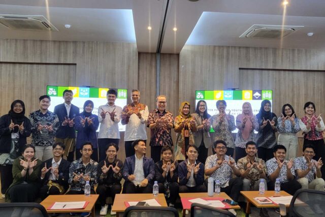
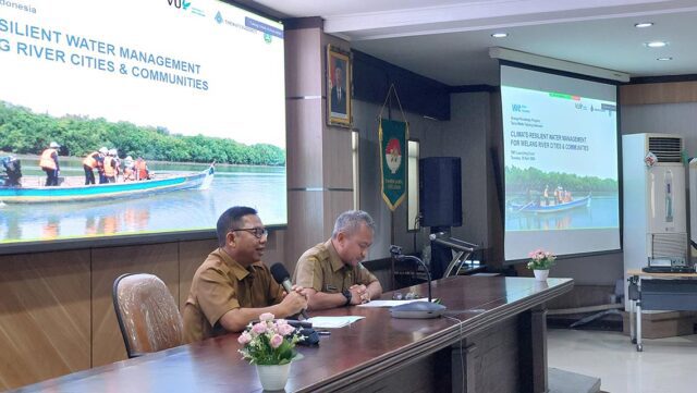
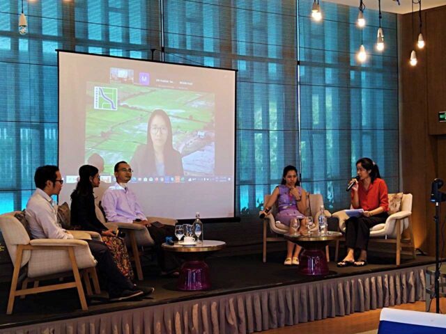
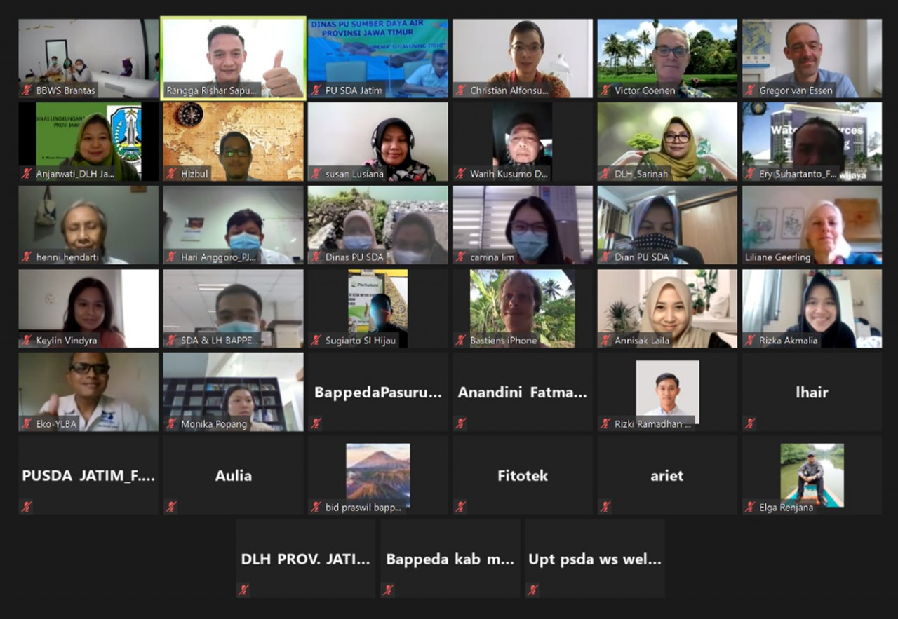
Inception meetings in December 2020
About Welang and East Java
The area of Welang Watershed from upstream to downstream is 498.03 km2, with the main river length of 40.6 km. The water from Welang River comes from the groundwater flow and surface water flow in Mount Arjuna and Mount Bromo. Welang River is administratively unique as it is located in three areas: Malang Regency (upstream), Pasuruan Regency (midstream), and Pasuruan City (downstream).
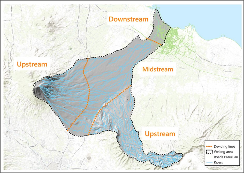
Welang Watershed
Welang river basin suffers from a number of water-related problems, many of them caused by man-made disturbances in the river catchment. The most evident issues are flooding, land-use changes, deforestation, and soil erosion, clogging by sediment and solid waste, causing a decrease in water availability and river pollution.
Welang Masterplan Consortium
Welang Masterplan consortium is a mix of academics, non-governmental organisations, and private institutions: Sepuluh Nopember Institute of Technology (ITS), Hogeschool Zeeland (HZ University of Applied Sciences), Yayasan Lahan Basah (Wetlands international Indonesia), Deltares, The Water Agency, and Witeeveen+Bos Indonesia as the consortium leader.
Identified issues and possible solutions
Welang catchment area used to be an agricultural powerhouse, and the midstream and downstream regions used to be covered in irrigated rice fields. For many years, land-cover has changed dramatically with the ongoing large urban expansion of Pasuruan City in the downstream area and industrialisation/urbanisation along the provincial roads in the midstream area. More recently, in the upstream area, forests are converted into plantations (horticulture) and new tourist settlements. This shows a trend in land conversion and deforestation associated with less retention capacity and more run-off.
The irrigation systems function as combined systems for irrigation, stormwater drainage and discharge of wastewater. Channels are mostly full, and so there is limited retention capacity in the system to store excess stormwater. In addition, a significant amount of solid waste is disposed of in the channels and likely accumulates at bottlenecks (e.g., traditional markets in Lawang and Purwodadi); this reduces the discharge capacity and may lead to backwater effects upstream of these bottlenecks.
Despite strong population growth, poverty in the catchment has significantly reduced in both relative and absolute terms. This is likely driven by the development of the industrial and manufacturing sectors. The total number of people below the poverty line stands currently at about 150,000 in Pasuruan Regency, significantly lower than in 2001 when 290,000 people lived below the poverty line. However, with a rate of 9.3%, poverty remains high in Pasuruan Regency.
The economic development and reduced poverty have enabled people to buy properties and construct new houses and has resulted in a demand for commercial developments. The urbanisation trend clearly follows the trends of population growth and economic development. Social and financial assistance by the regional government has also significantly increased in recent years. This is another key indicator that poverty is reducing, and the economy is improving.
Based on the identified issues and the mix of problems in Welang River, the discussed solutions will focus on two interventions:
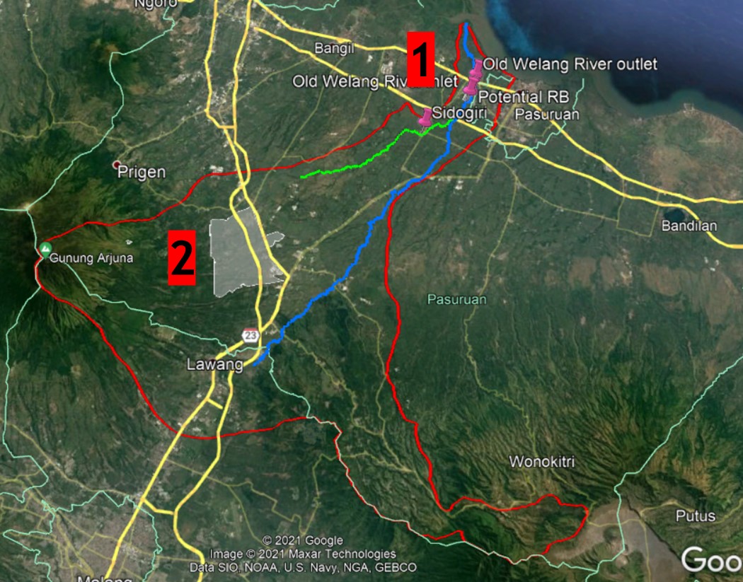
- Reduce flooding in the Kraton area
Measures:
-. Retention basin
Water is kept temporarily in these basins to reduce the volume of water in the Welang River during wet seasons or heavy rain.
-. Dredging the sediment from the river
The sediment material from the river is also used by local brick producers. Maintaining the river through regular dredging is required to lower flooding occurrence.
-. Making a new bypass
Through initial modelling results, the bypass is effective in lowering the water level near the Kraton area, where the population suffers from regular flooding.
-. Widening the river
An approach to also use the bypass for other activities during the dry season and promote the Building with Nature concept. - Reduce flooding in the Sidogiri area
Measures:
-. Check dams
DPU-EJP is familiar with using check dams to retain water upstream. These check dams are usually constructed along the irrigation channels, which now is also serving as drainage channels.
-. Reforestation and terracing
Introducing ecosystem-based services and sustainable, profitable farming practices to the farming communities on the upstream area can greatly impact the midstream and downstream areas.
The project partners are committed to solving the flooding problem in Welang River by implementing a smart mix of “soft” and “hard” interventions. The importance of working together and engaging with other relevant stakeholders (local people, government, non-governmental organisations) is highlighted for realising the Collective Ownership of the Welang River Basin to its surrounding community.
If your company/organisation is interested to explore opportunities, please let us know before 1 December by contacting Ms. Carrina Lim, Manager of The Water Agency Indonesia, at [email protected]

